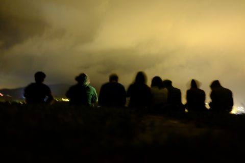
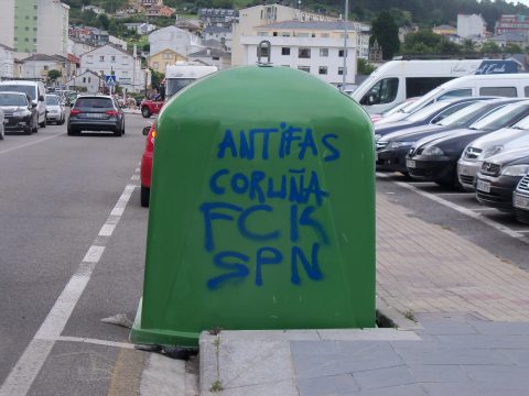
The Biketour has been going on for more than 1½ months now (hopefully someone will write some more blog posts about what happened during that time) and has now reached its last stop on the north coast of Spain in Ortigueira, Galicia, and will from here turn south towards Portugal.
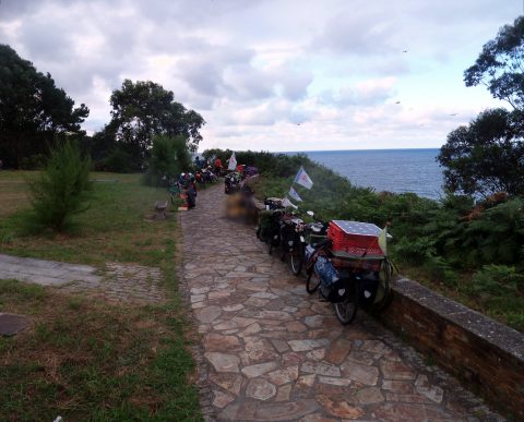
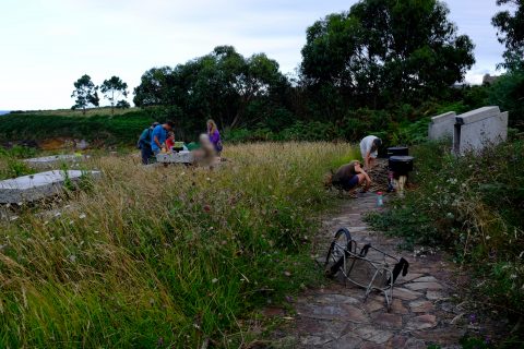
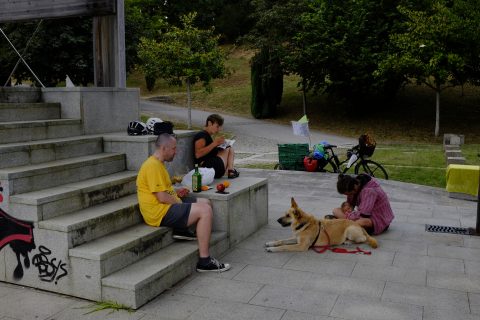
We are between 45 and 50 people for quite a while now, which is much bigger than in the last years. The size of the pots is just about big enough to make enough food for everyone, and we now have 3 rocket stoves and 4 trailers with us. In such a big group, it is impossible to have an overview over everything that is going on, people are constantly spread around, hanging out in smaller groups, always something going on somewhere, people coming and going from whatever they were doing in another place. Even more amazing is to see that the communal tasks are getting done, there is always someone somewhere preparing food or making sure that nothing gets left behind, and it’s an amazing moment to hear that “Food is Ready!” when you didn’t even notice that somewhere, a group of people was already taking care of preparing a mountain of food for 50 hungry stomachs. There are also new people joining and people leaving every day, in Tapia as much as 10 new people arriving in the same day, so there is always someone new to get to know, but no one even knows the names of everyone.
In the last years, we were always aiming for a daily maximum distance of 50 kilometers in hilly terrain and 70 km in flat terrain. In the end it usually turned out more, because in the route preparation we never took into consideration that the group would end up wishing to cycle on even smaller roads with even less traffic than we had planned. Taking the feedback from the last years into consideration, we decided to strictly cut down daily distances this year and base the daily maximum on the total climb that the automatic route calculation for bicycles (which takes even smaller roads than us) comes up with. The formula is to do 70 km when it’s completely flat, 60 km when there are 200 m of climb, 50 km when there are 400 m of climb, 40 km when there are 600 m of climb, and so on.
So for the 110 km from the anti-gold-mine project in Tapia to the eco-community here in Ortigueira, we were taking 3 cycling days, 1 of 50 km with not so many hills, and 2 more hilly ones of 30 km. Cycling such distances leaves a lot of time for other activities during the day, but because in the Ecotopia way of cycling, everyone starts and stops cycling at whatever time they like, the time when the group is together is still so small that it is difficult to schedule activities for the whole group. So our days are very relaxed, in the morning there is no pressure to get up or to leave early, and we even have a designated breakfast trailer that can leave late, so there is no limit until when you can have breakfast (in the past, the dilemma was always that some people wanted to get up late, but the trailers with the pots had to arrive early so that dinner could be cooked). One could argue that we are wasting time that could be used for either doing more activities like workshops, actions and info events, or for cycling more to be able to visit more projects. But on the other hand we are really breaking the capitalist culture of having to use time efficiently to work as much as possible, and we are creating a very stress-free environment that leaves a lot of time for social interactions.
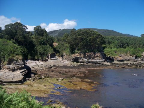
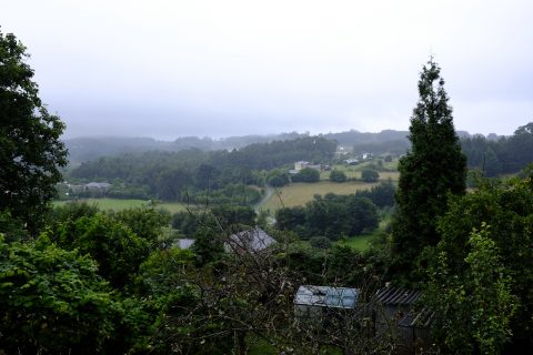
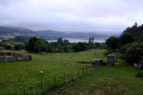
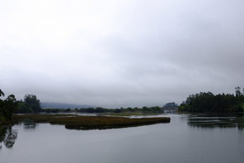
On the first day, just after leaving Tapia, we entered Galicia, the region in the very north-west of Spain. The landscape is still very hilly, but the hills are much less high and steep than in the other parts of the north coast, which actually makes the road more hilly, as it is not forced to follow the river valleys anymore. The coast is rocky, with some big bays and river mouths with big sandy beaches in between, particularly when the tide is low. Sadly, because there are so few beaches, they are usually full of people and thus not really suitable for being naked or camping with a big group of people, and police presence has been quite high on the beaches, telling us that it’s forbidden to be naked and to bring dogs to the beach.
To get to Galicia, we had to cross a long bridge over a river. It was a motorway bridge, but had bike paths on both sides. Unfortunately, the person who planned the bridge probably thought of bikes as “some variation of pedestrians”, and gave them only so much space that a bike without luggage would just about fit there, but only if no one is coming the opposite way. So some of us didn’t fit and had to illegally take the motorway and cycle on its 3 metre wide shoulder that was built there for millions of Euros just in case once in 100 years a car would by coincidence break down exactly in the middle of exactly that bridge.
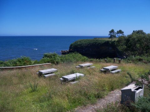
After a not so hilly but sunny day, we reached our first and amazing camp site that the people in the front had spontaneously found on the spot. It was a small park with an abandoned picnic site right on the seaside, with a path down to the rocks of a big bay with no one around, where it was possible to swim and have a naked sunbath all day. The park was owned by a social centre close by that even let us use their toilets and showers, and we had our own spring for drinking water right next to the probably only cooking place of this tour where it was actually legal to make a fire.
Like many regions of Spain, Galicia has it’s own language, Galician or Galego. To an outsider, it looks like most of the other languages of Spain, but sounds like a mix of Spanish and Portuguese. Galician sems to be used here even more than the local languages in other regions that we have crossed, like Basque Country or Catalunya, and here, most of the signs seem to be written only in Galician, without even a Spanish translation. But the languages are so similar that almost everything written is understandable to a Spanish speaker.
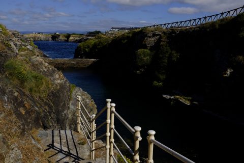
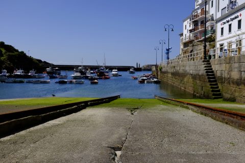
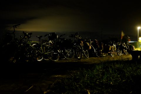
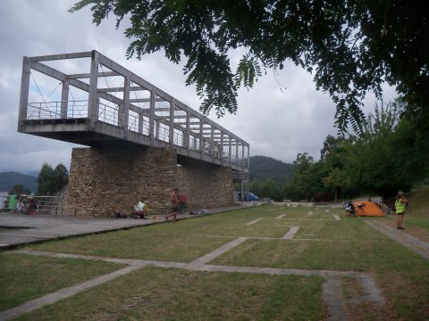
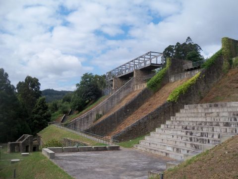
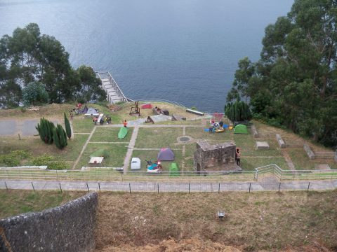
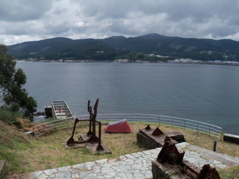
The second day was more hilly but less far, and we arrived in the afternoon in a weird place that used to be a port where minerals from the mountains were loaded onto ships, and has now been converted into some kind of mix between a viewpoint and a memorial. Because there were many visitors around, we didn’t dare to put up our tents until it got dark, and some of us slept in some creepy abandoned tunnels of the former harbour. But the next morning none of the tourists seemed to mind the presence of our tents.
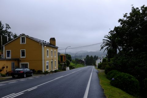
The weather has been quite cold for what you would expect from a Spanish August, with temperatures around 20–25°C in the day and around 15°C in the night. Often, there is a cold wind blowing, fortunately mostly from behind, but the sun is strong, and when it comes out, suddenly it starts to feel really hot. The weather has been changing multiple times a day between hot sun, cloudy cold wind and sprinkling rain (some people call it “Scottish rain”) that almost feels like a denser version of fog but completely soaks you in no time.
So on the third day, after a hilly ride passing some beautiful fjords and spending some sunny time on the beach, a lot of us got stuck in the heavy rain that started just before we reached the project. In the end we cycled as a big group together, following the GPS because all the arrows had been washed away.


