


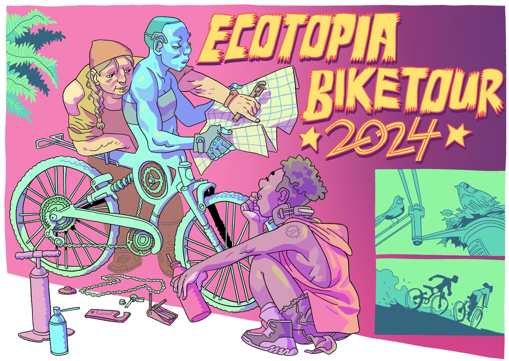
About
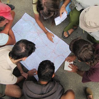
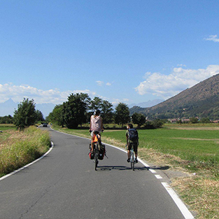
We try to make the tour as inclusive as possible for any level of fitness or experience with bike touring. We cycle a maximum of 30–70 km per day (depending on the hills), and on average half of the days we stay in a place without cycling. Our experience is that almost everyone can manage this, but there is the possibility to shorten the distances if we discover that it is too much. People cycle in small groups or alone, at whatever speed suits them, and many people like to take it slow and take lots of breaks. A detailed route plan for the day is shared in the morning, arrows are drawn with chalk on the road at every turn, and if you get lost you can always call the Biketour phone. If you have a shitty bike, you will not be the only one, and we enjoy supporting each other if something breaks. We make sure that the last people to leave carry a toolbox, a phone and a first-aid kit in order to assist if anything goes wrong on the road.
Read more about what the Ecotopia Biketour is. If you would like to get an insight into the organisation or just ask a question, contact us.
Biketour concepts
Participation Guidelines
> participation guidelines
> awareness
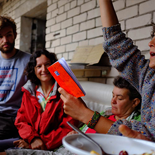
Self-Organisation
> how it’s prepared
> consensus
> circles
Online Tools
> online-tools
> photo-sharing
On the road
> on the road
> tasks & rota
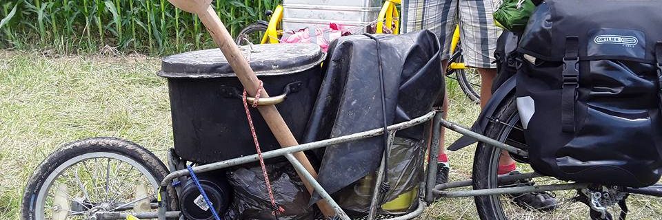
> trailers
> wildcamping
Food
Whenever it’s possible we go dumpster-diving and buy food from local farmers and small shops.
> veganism
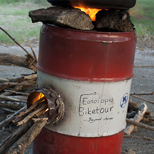
> rocket stove
> dumpster-diving
Activities
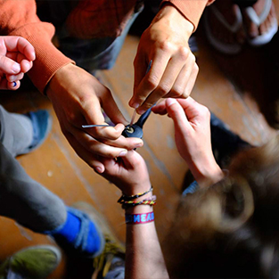
> skill-sharing
Latest blog posts
First cycling days from Strasbourg to Nancy
On Monday we started cycling from Breuschwickersheim. We had 4 days scheduled to do 155 km, a lot of time to develop a daily routine and to have a buffer in case something goes wrong with the bikes or trailers. We even managed to all leave around 1 pm on the first day, which is a record by far among the last years. Cycling was quite hard despite only doing between 30 and 40 km per day. The summer came back with some really hot sun, and the road went up and down a lot through the Vosges mountain range.…
STRASBOURG „Le paradiet”
One more summer the Ecotopia Biketour is again on route. On the 28th of June the five of us met in a field at the end of a muddy road, to me it felt like a night like any other one,we were just some travellers gathering around the food and sharing stories. The next morning we moved to a little and cozy terrain called 'Le parediet’, which was the official meeting point. Once there, people slowly started to arrive and things somehow started to get done: thanks to the materials and tools from our host and the people in Maison…
Picking a circuit for the dynamo-powered USB port, part 2
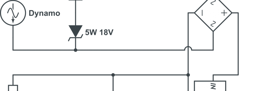
Ecotopia Biketour 2017 is already under way and updates about how our first days of cycling went will follow soon. One thing that we want to achieve this year is not rely on the electrical sockets of our hosts anymore when it comes to charging the numerous electronic devices that people are bringing on the tour these days. One way to do that is to build a circuit that converts the power coming out of the dynamo of a bike to power that is needed to run a USB port. We have tried to find the best way to build…
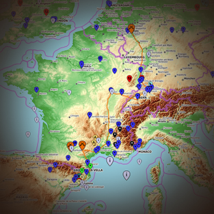
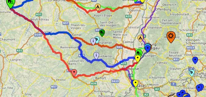
Collaborative map tool FacilMap & How we chose the region
Collaborative opensource map tool For the planning of the Biketour, we have an online tool, an interactive, editable map where we can all work together. Anybody who’s been organising this tour can add projects, nice places, interesting events and other relevant things. You can switch on and off marker types and routes you want to look at on the right side of the map. If you click on a marker or a line, it shows you more information like descriptions, contact-details and for routes the elevation profile. Because it’s openly published, this map is a non-editable version of the map. For the…